

It doesn’t seem to support Firefox or mobile browsers, at least not.
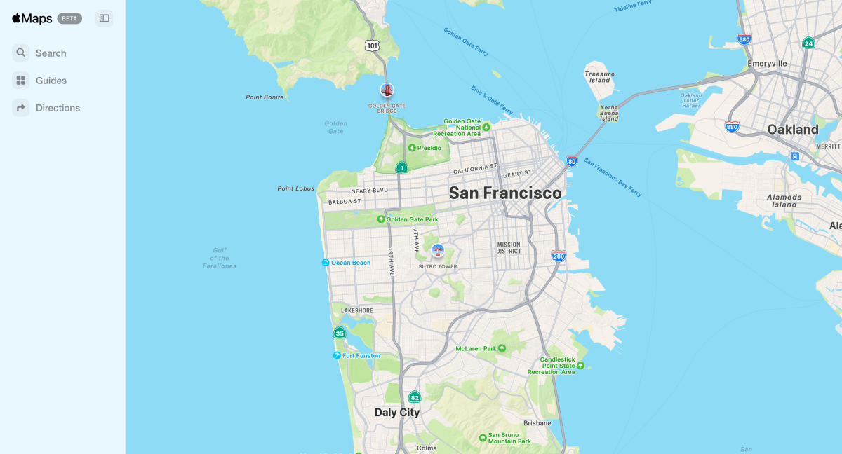
Maps on the web is compatible with these web browsers
On your Mac or iPad
- Safari
- Edge
- Chrome
On your Windows PC
- Edge
- Chrome
It doesn’t seem to support Firefox or mobile browsers, at least not.
Maps on the web is compatible with these web browsers
On your Mac or iPad
- Safari
- Edge
- Chrome
On your Windows PC
- Edge
- Chrome
As others have said. Just use opensteeetmaps.
They’re the best (even for hiking)